


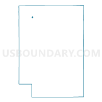
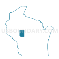
Thorp - C 1 Voting District, Clark County, Wisconsin
About
Outline

Summary
| Unique Area Identifier | 692740 |
| Name | Thorp - C 1 Voting District |
| County | Clark County |
| State | Wisconsin |
| Area (square miles) | 0.21 |
| Land Area (square miles) | 0.21 |
| Water Area (square miles) | 0.00 |
| % of Land Area | 100.00 |
| % of Water Area | 0.00 |
| Latitude of the Internal Point | 44.95501330 |
| Longtitude of the Internal Point | -90.79532200 |
Maps

Graphs
Select a template below for downloading or customizing gragh for Thorp - C 1 Voting District, Clark County, Wisconsin


Neighbors
Neighoring Voting District (by Name) Neighboring Voting District on the Map
- Thorp - C 2 Voting District, Clark County, WI
- Thorp - C 5 Voting District, Clark County, WI
- THORP - T 1 Voting District, Clark County, WI
- WITHEE - T 1 Voting District, Clark County, WI
Top 10 Neighboring County Subdivision (by Population) Neighboring County Subdivision on the Map
- Thorp city, Clark County, WI (1,621)
- Withee town, Clark County, WI (966)
- Thorp town, Clark County, WI (808)